
We were back with the buses today, as both start and finish destinations can be reached by direct bus but both would involve a change of trains. Unfortunately, the Birchington bus stop is at the opposite end of the high street from the sea front, meaning additional mileage in an already – for my current state of health – long walk. The first thing we saw was a post box topper, something which is always guaranteed to put a smile on my face, and it was rather appropriate as a different post box topper was the last thing I saw on the previous leg.
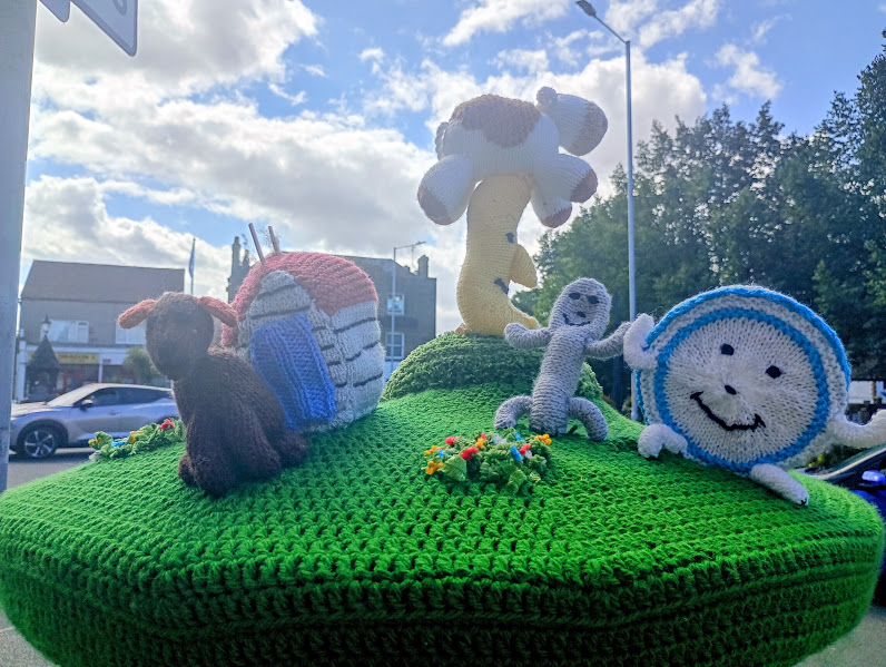
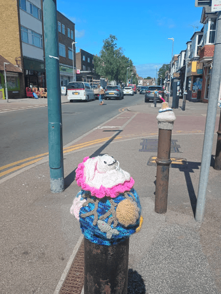
This was quickly followed by some bollard toppers,
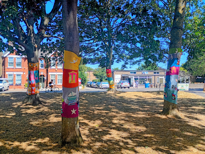
some tree decorations.
and then another postbox topper, continuing the nursery rhyme theme.
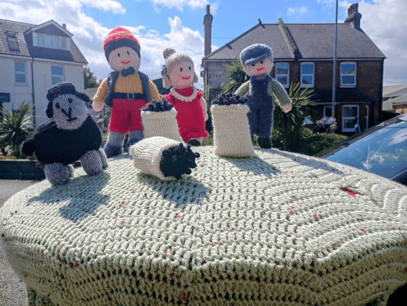
There is clearly an army of keen knitters in Birchington, and as a wannabe guerilla knitter myself, it was almost enough to make me want to move there. I was also tempted to seek out other post boxes to see what other nursery rhymes they might have on top, but the coastal walk was calling.
Birchington has a very nice high street by the way. Lots of independent shops and cafes, and a decent smattering of charity shops, and you could pass a pleasant time mooching about. No shopping today, but we did have to make a quick stop at an excellent green grocers, tempted by their delicious pavement display. I loved their idea of putting meringues next to the strawberries, and the fact that they were selling scones with little pots of jam, but we just bought two ripe peaches to add to our picnic lunch.
We headed down the slope to Beresford Gap on a gloriously sunny day – although we were hit by the wind as soon as we turned onto the promenade.
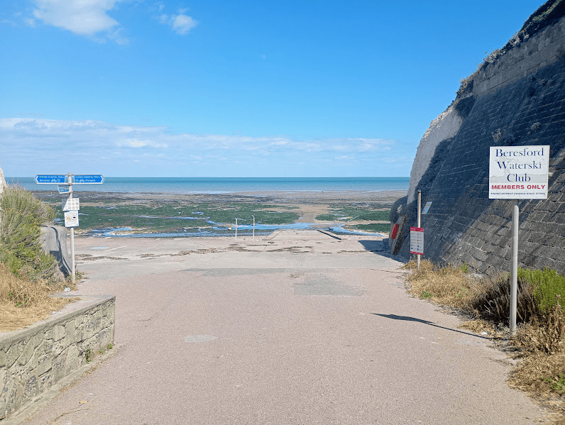
There is little in the way of sand here, but plenty of chalk reefs, ideal for rock pooling when the tide is out, as it was that day. There were chalk reefs looking back towards Epple Bay that I passed on my last walk,
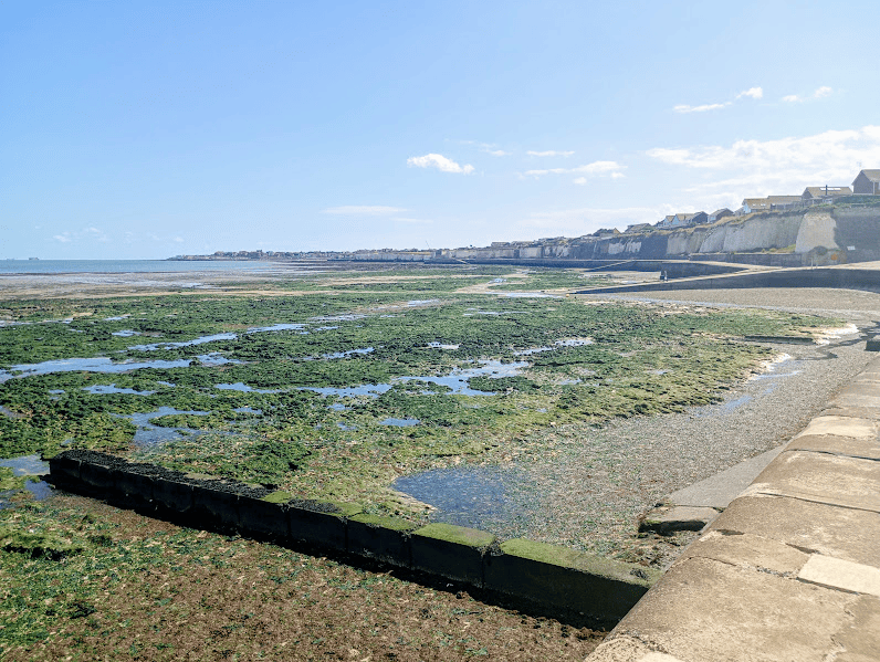
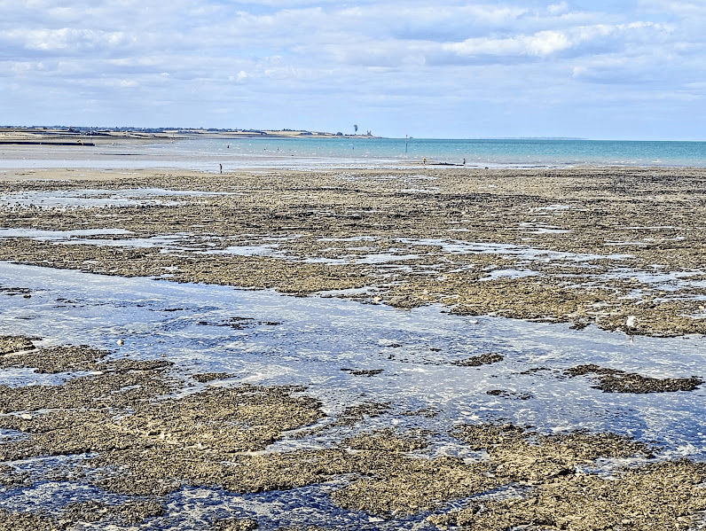
and more chalk reefs as we continued along Grenham Bay towards Minnis Bay. As I mentioned in the last leg, these are the second largest chalk reefs in the country, beaten only by those in Cromer in Norfolk. ~The iconic sight of the Reculver Towers could be seen in the far distance, a constant presence as we walked.
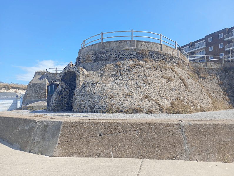
We passed some coastal defences that looked decidedly fortress-like,
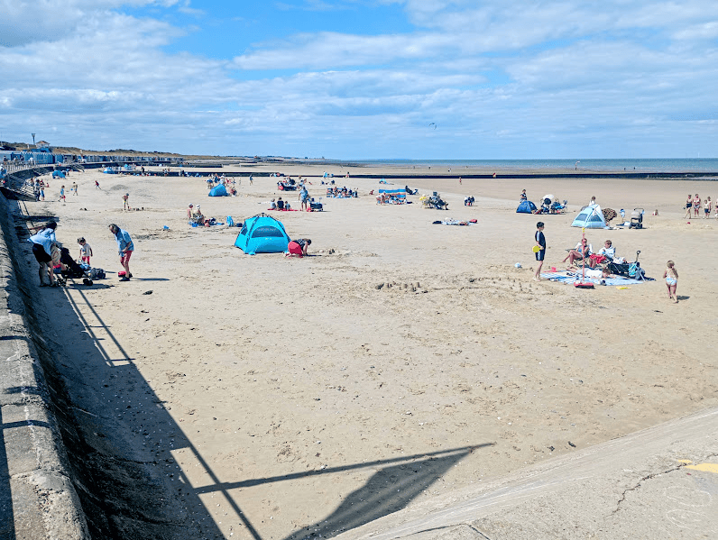
and reached Minnis Bay – a significant moment as it is the final Thanet Bay of the very many that I had passed. It’s a very popular sandy beach, although the wind may have been keeping people away.
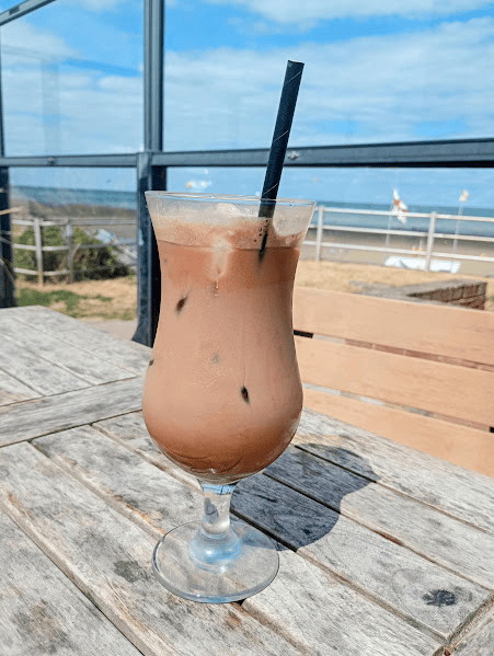
It was definitely coffee time, and we stopped for an iced mocha at the Minnis Bay Bar and Brasserie. We sat on the sheltered terrace, and enjoyed our drinks as we watched the kite surfers and kite flyers out at sea and on the beach, and oh how much better a drink tastes when it’s in a nice glass!
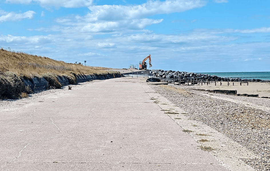
We continued along the prom, past the beach huts, until we reached diggers doing work on the sea defences, at which point we had to take steps up and around.
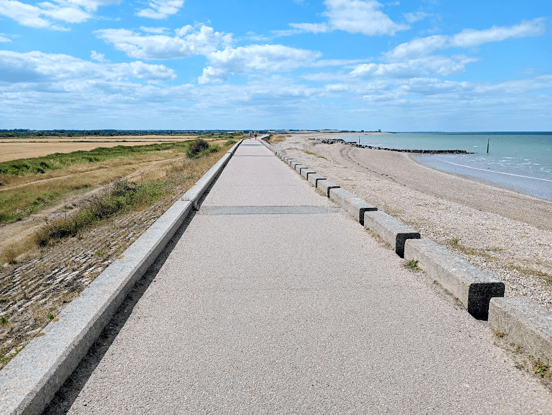
After that it was a very long path straight ahead, initially with arable fields on our left and beach to our right,
although a little later on there were two saline lagoons – bodies of water separated from the sea by narrow sand or shingle banks, which contain a mix of fresh and saltwater. These are apparently quite rare and they create a habitat for species that have specially adapted to live there and which can’t be found anywhere else (spire snails and amphipod shrimps!), as well as providing important feeding, roosting and nesting sites for large numbers of birds.
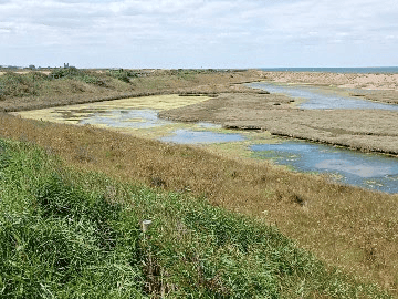
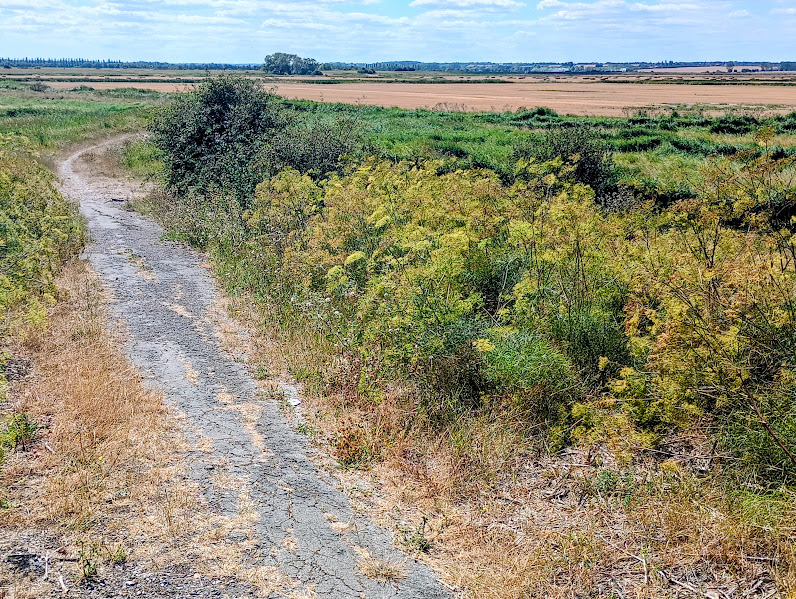
Looking at the fields now, it’s hard to believe that the Wantsum channel once ran along here on the landward side. This channel, which at its peak was up to two miles across, separated the Isle of Thanet from the rest of mainland Kent, and was deep enough for Roman and medieval ships to have sailed along.
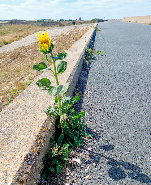
The cheerful sight of a sunflower growing out of a crack in the concrete cheered us on our way,
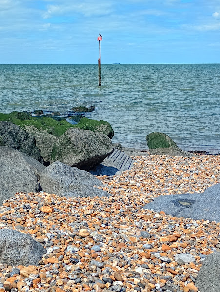
and just before we reached Reculver, we headed down onto the beach (at some point the sand gives way to pebbles) to eat our lunch, watched over by a cormorant who was sitting nearby.
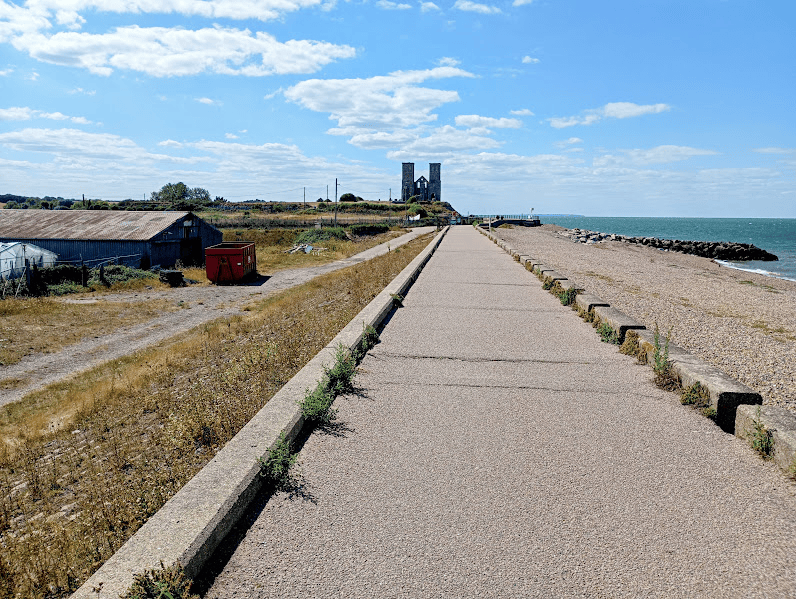
Getting closer now. The fact that you can see the towers from miles away deceives you into thinking that they are much nearer than they actually are!
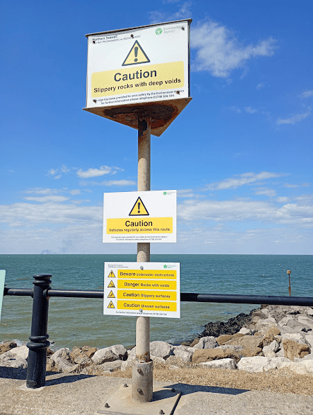
We saw possibly the most warning signs that could possibly be fitted onto one post – who knew that it was such a highly dangerous spot! –
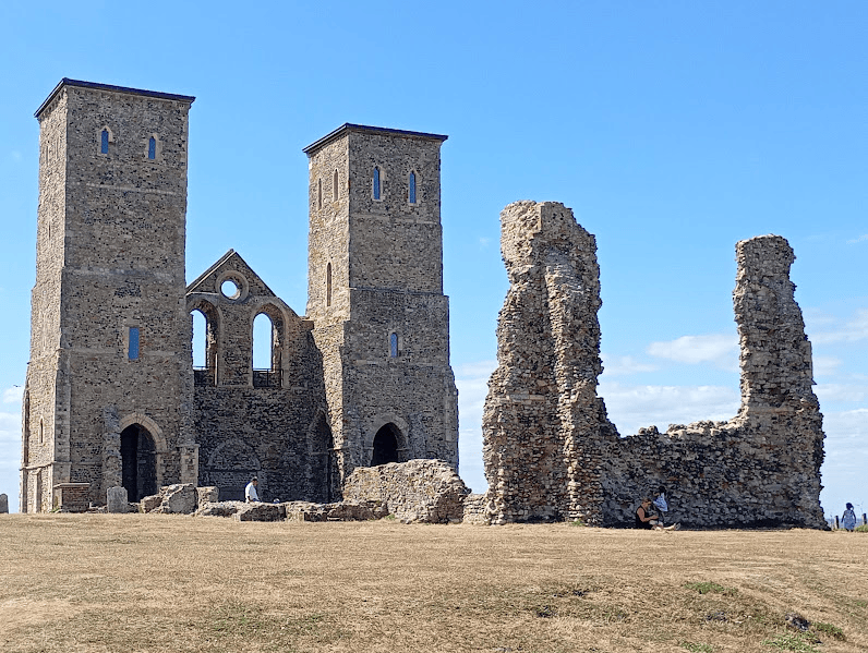
and here we are at last. The twin towers are all that remain of a medieval church, built on the site of one of the earliest Roman forts in Britain. When the fort was abandoned, an Anglo-Saxon monastery was built, and the church was initially the monastery church before becoming the parish church of Reculver.
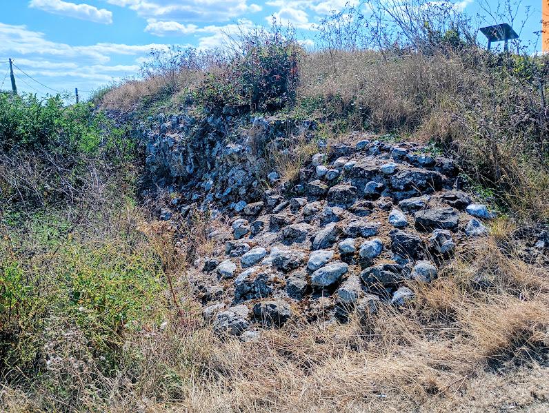
The Roman fort was built to guard the northern mouth of the Wantsum Channel (see above!) There are still parts of the old walls to be seen, but at least half of the site has been lost to coastal erosion. A second fort – Richborough – was built to guard the southern end of the Wantsum, and is now managed by English Heritage..
There’s a pub, cafe and toilets here but, as we had only just had our lunch, we decided to press on to Herne Bay (after using the toilets) and have an ice cream when we got there. The tide was starting to come in by now, but it was safe enough to still walk on the beach, and I was hoping to see some sand martins. There is a large colony that nest in the sandy cliffs.
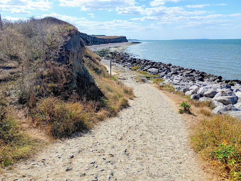
The going was easy to start with as the beach was a mix of sand and shingle, and there were a few fossil hunters out, digging with their trowels around the rocks.
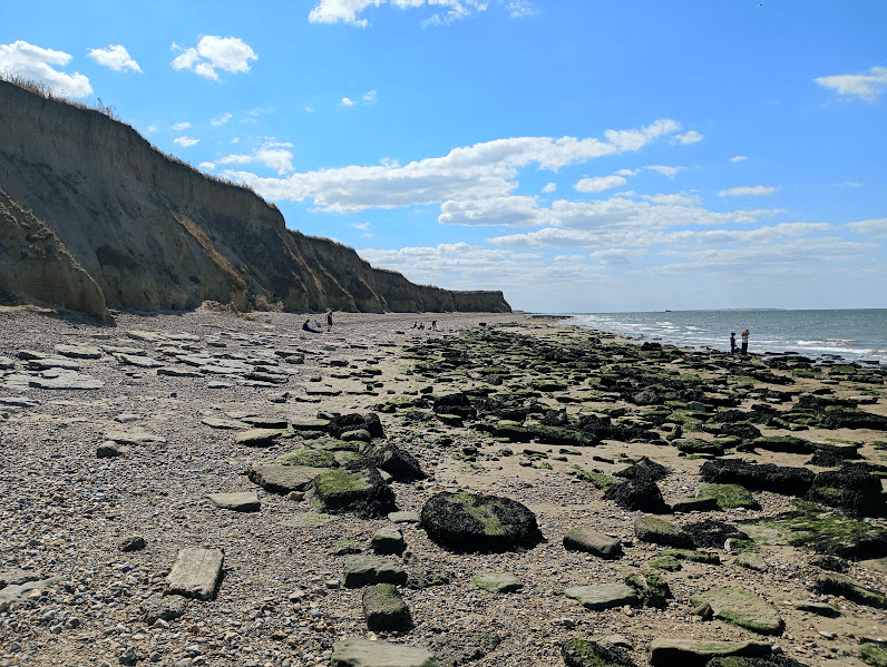
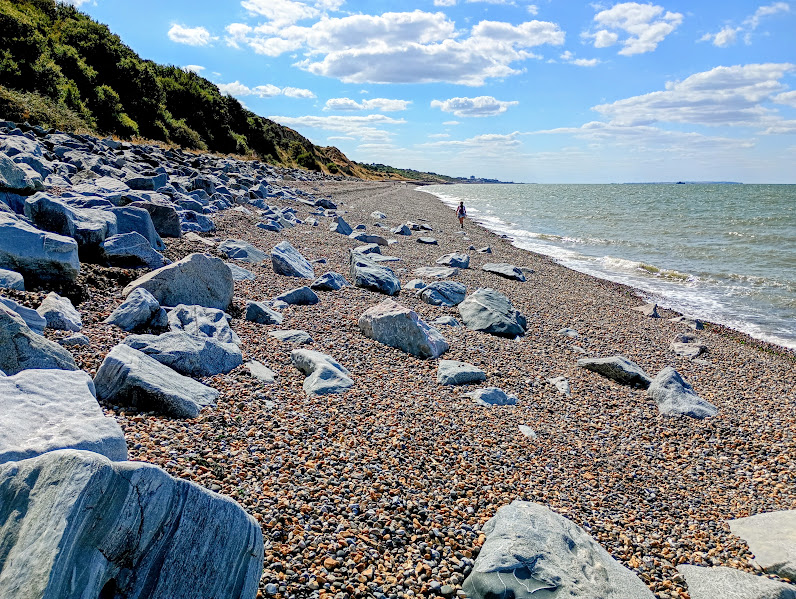
It soon got more pebbly and much harder going though. My daughter wasn’t happy as she had wanted to take the cliff top path, and although I wouldn’t have admitted it, I began to regret my insistence that we went along the beach – especially as I didn’t see a single sand martin anyway – because I was having to expend more energy than I had available!
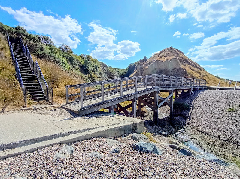
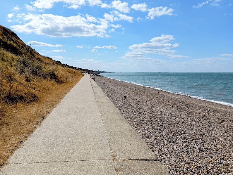
Eventually we saw the steps that bring you down from the cliff if you have made the decision to walk along the top – or indeed if the tide is in and you are forced to have to take that path. Over the bridge and you can leave the pebbles and re-join the promenade.
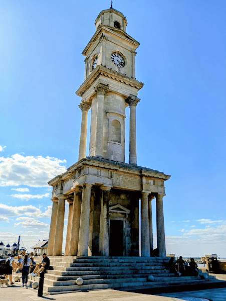
As is so often the case when I tackle a walk that is a little too long for me, this final stretch was no longer enjoyable. I was really flagging by this point, and just had to focus on the clock tower and the end of the pier ahead of us. (The pier was once the second longest in the UK with an electric tramway that ran along the length of it. Sadly, storms have destroyed much of the middle section, leaving the remains of the landing stage from the days when passenger steamers would dock there, stranded out at sea. On the promenade end, there is a short section that used to be used as a sports centre but has now been regenerated with fair ground rides and a variety of food and drink outlets and shops based in colourful beach huts.)
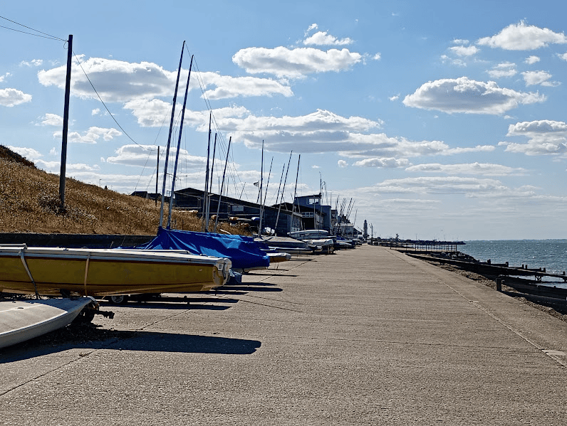
Past the sailing club,
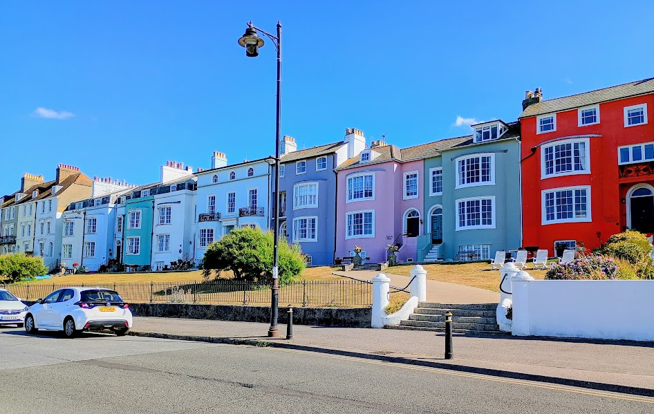
past my favourite row of houses,
and we finally reached the clock tower, which marked the end of the Birchington to Herne Bay walk.
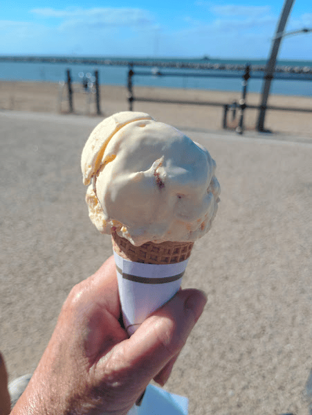
Just time to pop across the road to Scoops ice cream for a little reward before the bus home. Caramel fudge – yum!
Read my Kent Coast Walk Part 12: Margate to Birchington-on-Sea here


Leave a Reply