
(A long overdue post for a walk completed last summer!)
I’d been putting off this walk as, according to my Kent Ramblers Guide, it came in at 11 miles, and since my last big CFS relapse in early 2025, I had only managed to build back up to about 5. After looking at the map however, my daughter noticed that the 11 miles took into account the fact that you walked along the coast as far as it was possible to go, before returning inland to Sandwich along the River Stour, whereas in fact we could split the walk into two sections by doing the walk which we have done a number of times previously, where we cut back into Sandwich through the golf course, and then return to complete the full loop at a later date, so this is what we did.
STAGE ONE
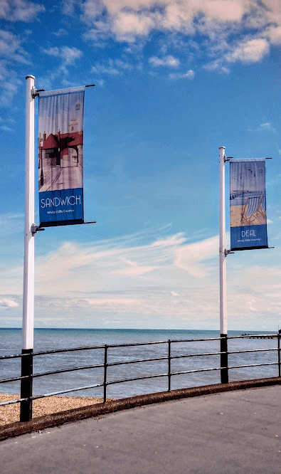
We started the walk on a sunny day in the height of the summer, and the flags on the pier heralded our start and end points.
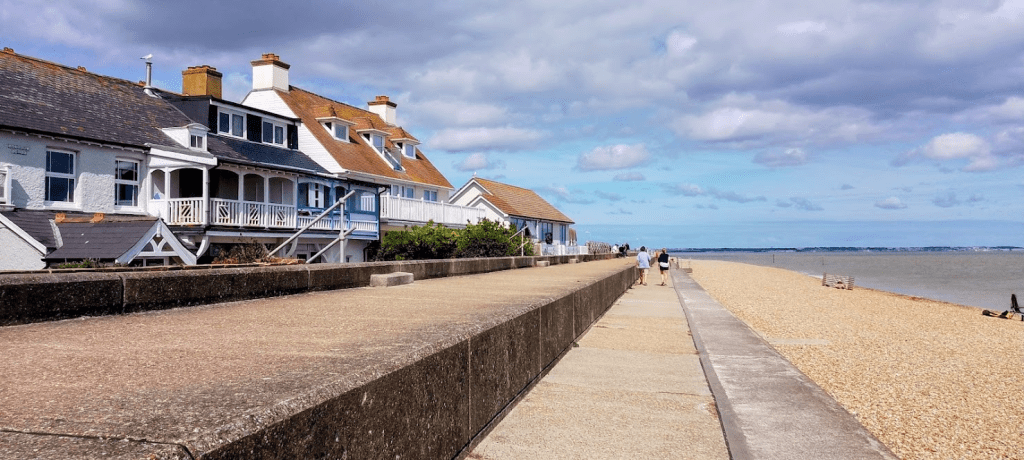
Deal seafront, and the roads running immediately behind, are full of very pretty, pastel coloured Georgian terraces, which rather belie Deal’s smuggling heritage, but as you approach Sandown, the promenade loses the road and cars are replaced by beachfront properties.
Sandown Castle was the third of the three defensive castles built by Henry VIII (Walmer and Deal Castles were both passed on the previous leg of the walk), but sadly succumbed to erosion, and what remained was built into these sea defences.
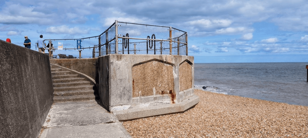
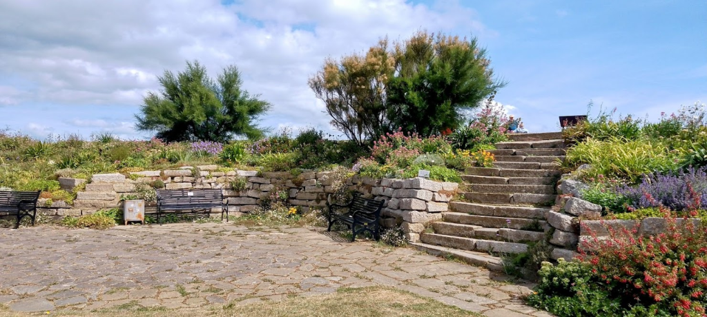
Part of the grounds however, form part of a community garden. There’s usually a coffee van here for those who might want some refreshment at this point, and it would make a pleasant place to sit, but we planned on having our coffee stop at the end of the walk.
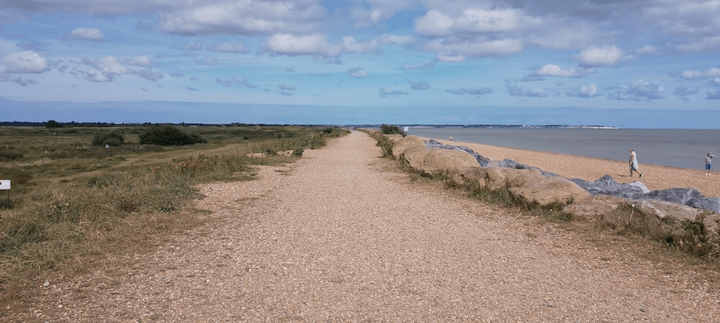
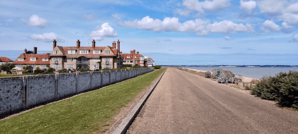
From Sandown the path becomes a well trodden shingle one, running between the beach and the first of three golf courses in this section of the walk (The Royal Cinque Ports), with views ahead to Pegwell Bay and Ramsgate.
Of course, with golf courses come the obligatory warning signs about flying golf balls.
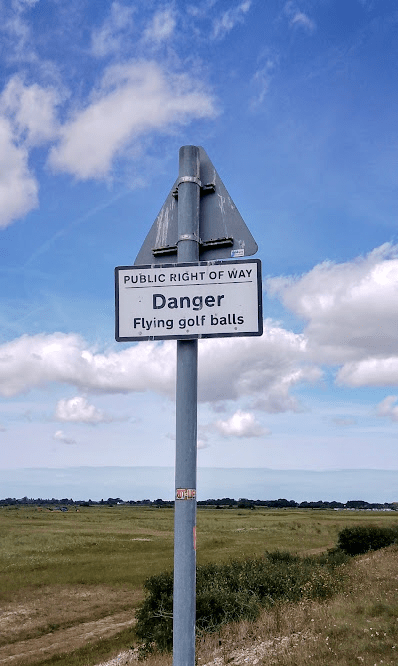
I don’t know how likely you are to be hit by a flying golf ball along here, but the risk is possibly increased by the fact that there is one teeing off area (I know nothing about golf so don’t know what the official name might be) that is actually on the beach side of the path, and for the first time in the years that we have done this walk, we actually came across a group of men about to play from it. We weren’t sure whether they would rather us hurry ahead and leave them to play at their leisure, or whether it would put them off if we stood and watched and waited, but we decided that we should exercise caution and not risk a ball to the head and so chose the latter option. (Although I wasn’t sure whether they would appreciate being photographed so waited until they had moved off in pursuit of their balls before taking my own shot!)
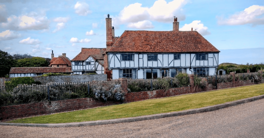
Soon after, you come to the Sandwich Bay estate; an exclusive development of very large and fancy houses that came into being in the early 1900s as a result of the popularity of the golf courses. At the time there were plans to create a new resort town, but the outbreak of WW1 meant that such a large scale scheme never got underway. The house that you can see coming up on the left was built as a summer house by Lord and Lady Astor,
although my favourite house in this stretch is this one below. It looks as if it has been there for hundreds of years, but in fact was constructed in about 1920 using materials reclaimed from two 17th century weavers cottages and beams from some Tudor barns. I’m not alone in liking it, as apparently the Prince of Wales (the future King Edward VIII) rented it in 1926, and it was later owned by the Heinz family as their holiday house!
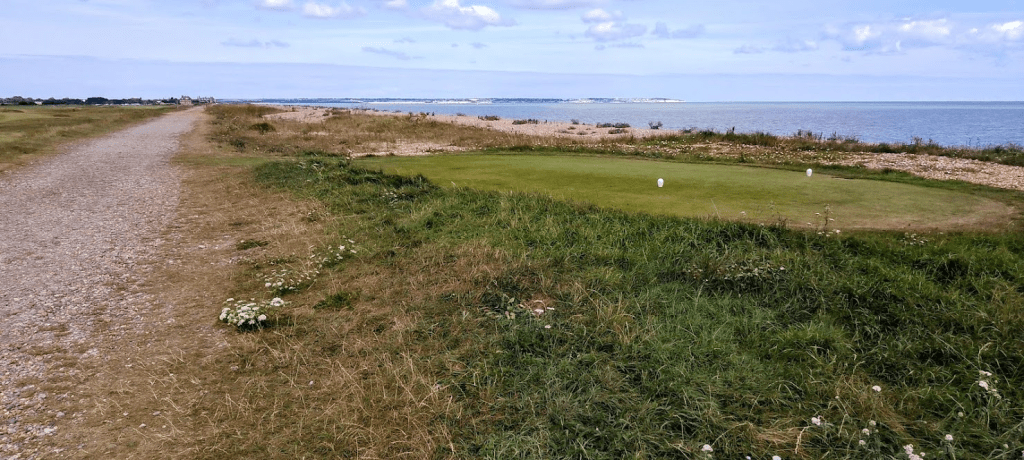
From here, the walk borders golf course number two – The Royal St George’s. We stopped for a picnic lunch on the beach opposite, and as we ate, I spotted something swimming along in front of us before suddenly disappearing from sight. My first thought was that it must have been a dog, except the nearest people in sight were way down the beach, and so it couldn’t have been. Then I thought it must have been a log – but a log would have just floated and not suddenly gone under water. And then just as I was voicing my puzzlement, a head briefly popped up and we realised that it was a seal! There is a colony of seals who live a little further down the coast at the Pegwell Bay Nature Reserve, but I’ve never seen any sign of them before (although we did once see a dolphin swimming off Deal seafront!) so it was incredibly exciting (although the dolphin was possibly even more exciting!)
This basically marked the end of this first stage of the walk as, having eaten, we turned inland along the Saxon Shore Way,
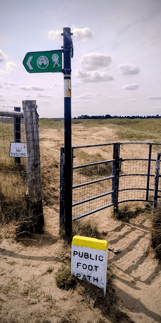
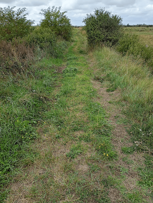
following the clearly marked path across the golf club to take us back into Sandwich,
meeting the river that I would ultimately be following in the second half of the walk.
This would have been a perfectly acceptable ending point for this section of the coastal path but for the fact that I am very anal about this kind of thing and wanted to do the whole coast path properly and follow the official marked trail. I therefore returned a couple of weeks later to tackle…..
PART TWO the Sandwich to Sandwich circular loop!
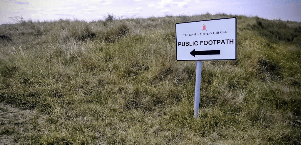
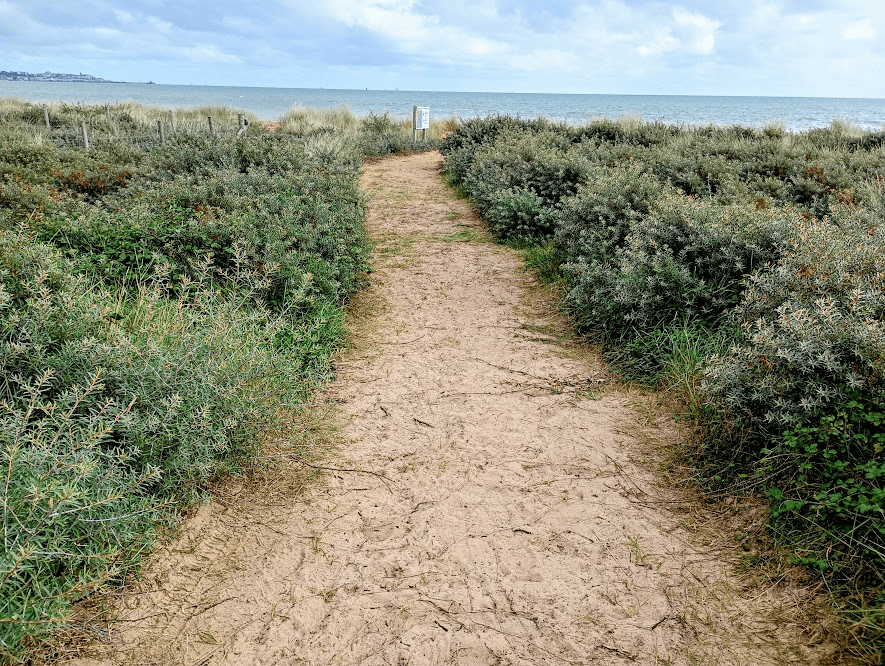
This time I was walking solo and, having re-traced my steps back to the sea, turned left and headed towards the third golf club of the section – Princes Golf Club. I wasn’t really sure whether I was supposed to be walking along the private road that runs along here, but I decided that it would be nicer to walk along the edge of the beach, which had a wide grassy stretch running along the back, although I wondered whether I had made the right decision when a fence suddenly ran between me and said road. Was I going to find myself unable to access the coastal path when it turned inland and have to back track? (Spoiler alert, I didn’t!)
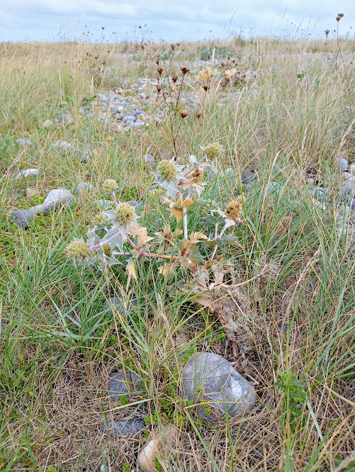
As I walked along, I was quite excited to see some sea holly, as I’m not aware of having spotted any before. (This has just got me wondering how common it might be in Kent, and a quick check online suggests that it is mainly found in Sandwich and around Seasalter near Whitstable, so not in abundance and I don’t recall ever seeing any when I have been in Seasalter.)
There were also a lot of buckthorn bushes with displays of bright orange berries.
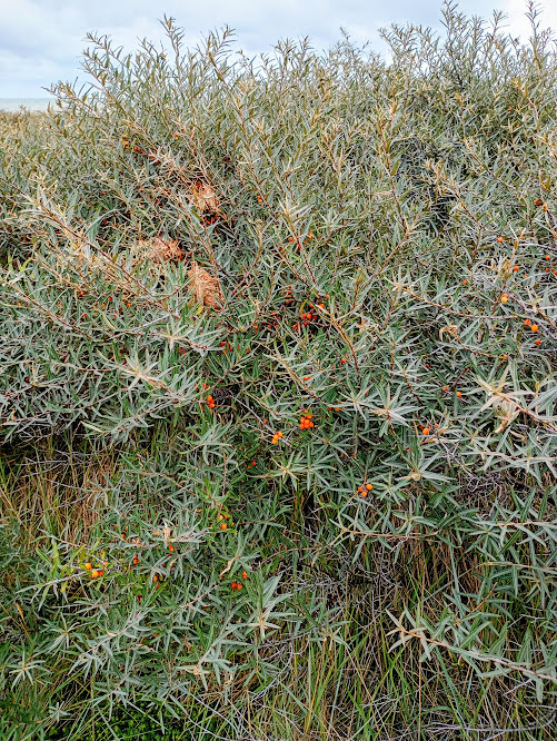
In fact there was so much buckthorn that it soon formed a complete barrier between me and the beach, and as it was a fair old step from the centre of Sandwich to this point for my current energy levels, I was starting to be in need of a sit down. I didn’t want to just plonk myself down on the path and was about to give up hope when, just before a fenced off area ahead, and at the point that the coastal path turned onto what gave the impression of being a private road, there was also a path on the right leading through all the buckthorn to the beach. Yay!
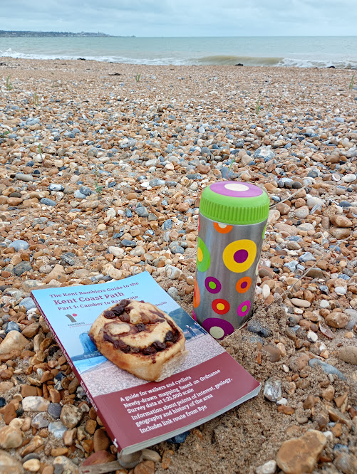
A hot drink and a homemade (slightly unsuccessfully because I think the milk was too hot and killed off the yeast, but still edible and quite tasty) chelsea bun were in order.
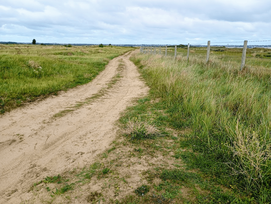
Refreshed, I continued along the path which, further from the coast now, continued to follow the edge of the Princes Golf Club, but with views of the sea and Pegwell Bay just about still in sight.
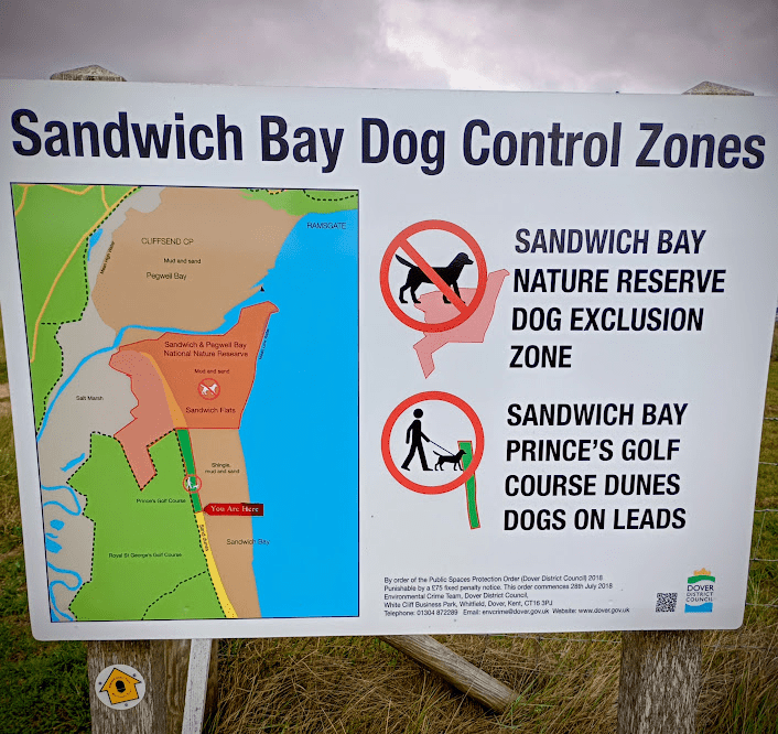
As you can see from the information board that was near my refreshment stop, the position of the River Stour forces the coastal path inland, and with a Nature Reserve running along either side, you can’t actually get too close to the river mouth either.
So at the edge of this Nature Reserve I had to turn inland
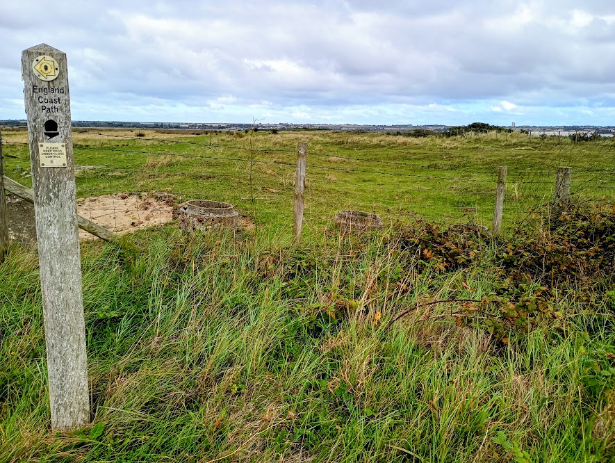
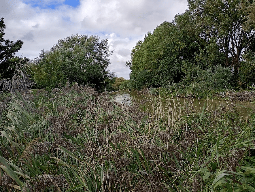
and at this point, the path started getting much wilder.
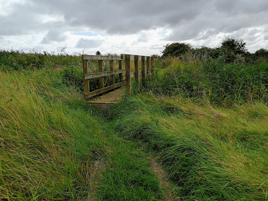
It twisted and turned through areas of long grass and tall rushes, crossing over several bridges, and along the edge of some woodland. Although it was still skirting the furthest edges of the golf course, there was nobody in sight, and it felt very remote. I was suddenly very nervous. I realised that nobody knew where I was or even that I was out walking that day, and I spent a lot of time anxiously looking over my shoulder, hoping that nobody was going to leap out from behind a bush. It definitely wasn’t a part of the walk that I enjoyed.
It was a relief to emerge out into the open, and although the walk instructions said to follow the path along the bottom of the embankment that greeted me, I decided to go rogue and climb up and walk along the top of it (and it was higher than it looks in the photo). Once I had established that the cows I had spotted were safely behind a fence, I felt a little better. It was still very isolated, but at least I could see clearly in all directions!
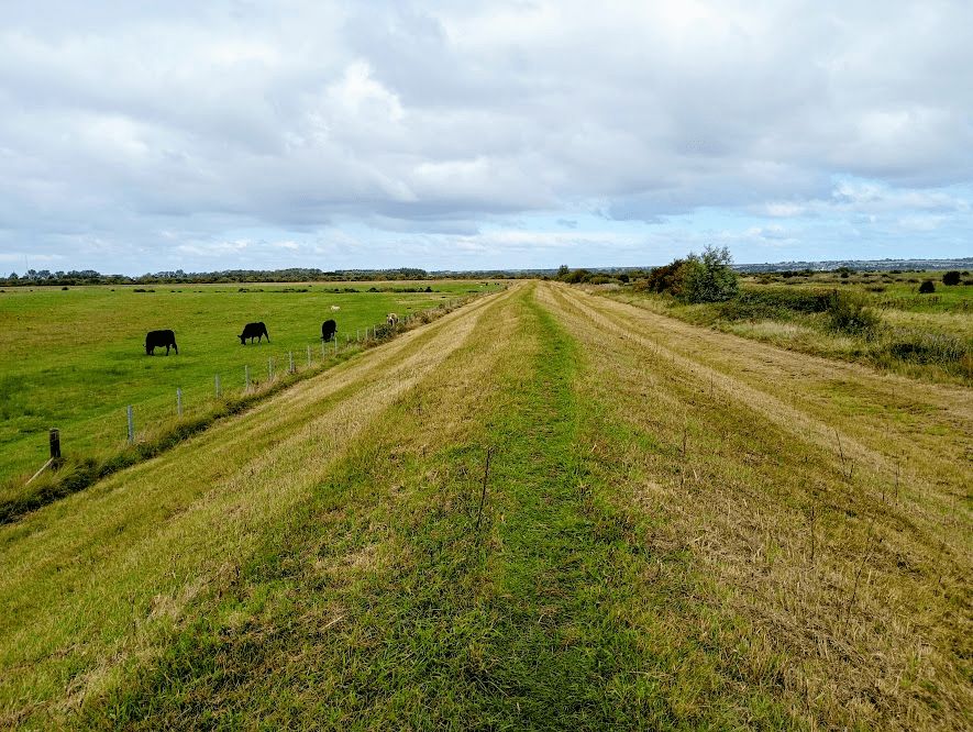
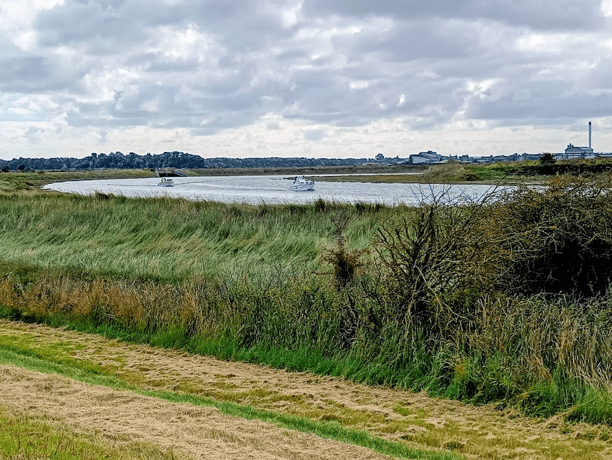
Although now away from the coast, at this higher level I could see across to Pegwell Bay in the distance, and made the most of it before the embankment turned further inland, eventually giving my first glimpse of the River Stour.
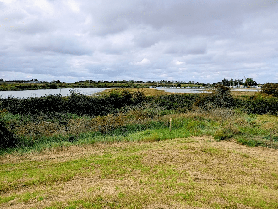
The embankment continued to loop around, following the river for a short while,
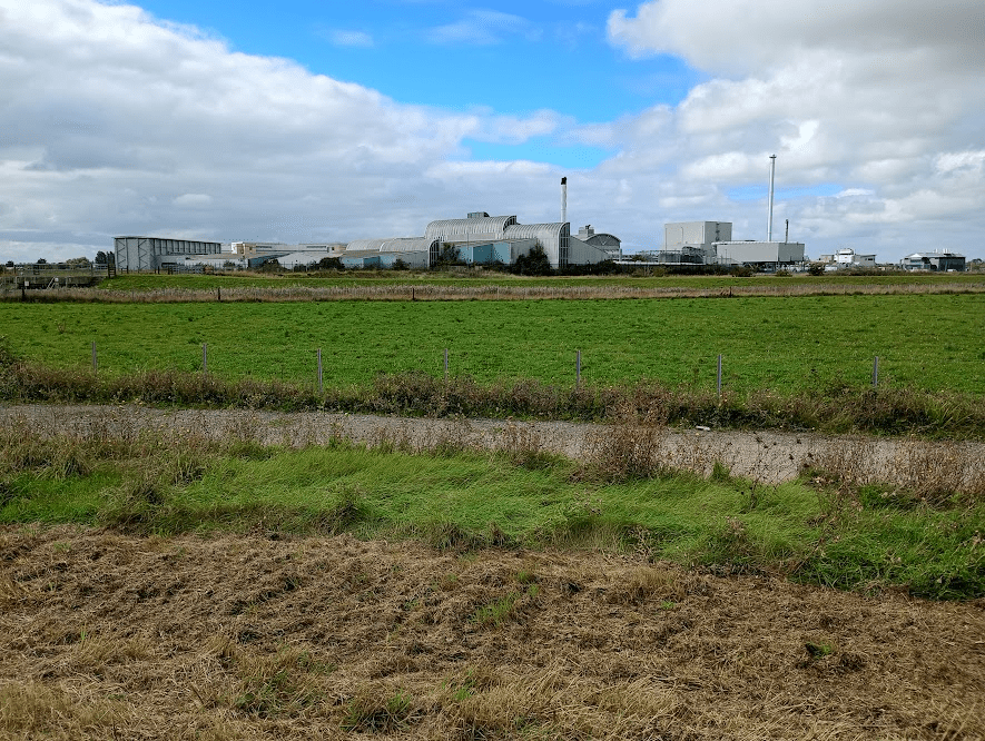
before I had to descend for a section of quite boring track walking, where the description was rather vague, there were no marker posts, and I wasn’t sure whether I was going in the right direction. My second moment of relief for the day was when I finally spotted an England Coast Path marker and realised that all was well, and I happily climbed up on another section of embankment walking, now with views of the rather ugly Sandwich Discovery Park (which I will be having the pleasure of seeing at close hand in Part 8.!).
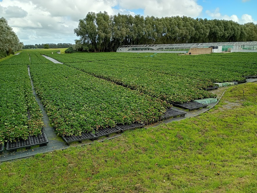
I passed a strawberry field
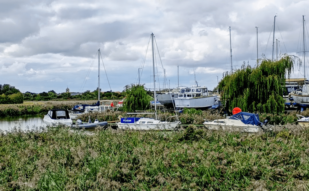
and then a boat yard, at which point I started seeing a few dog walkers, so I could tell that I was getting closer to Sandwich.
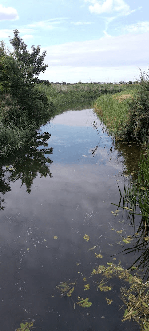
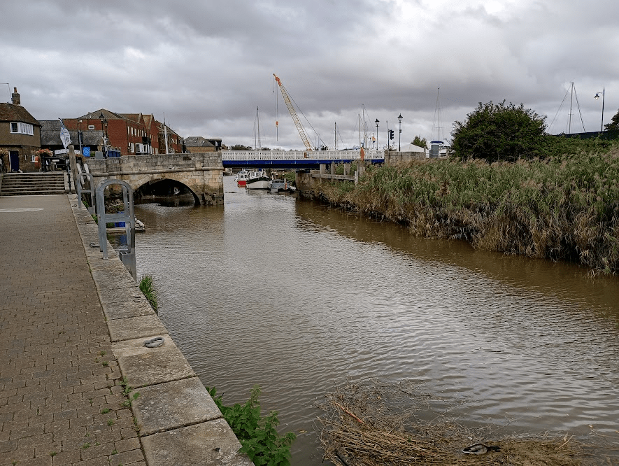
The path continues to follow the river all the way
to the quay.
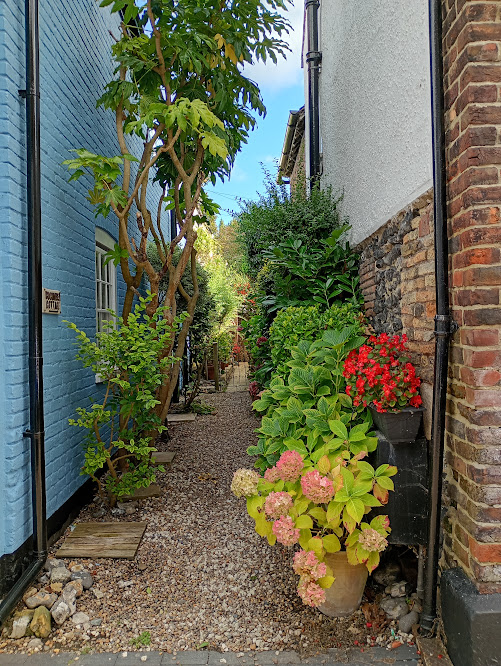
Sandwich is an incredibly pretty medieval town, with so many streets worthy of a photo, but what caught my eye as I made my way to the bus stop were this display of pots
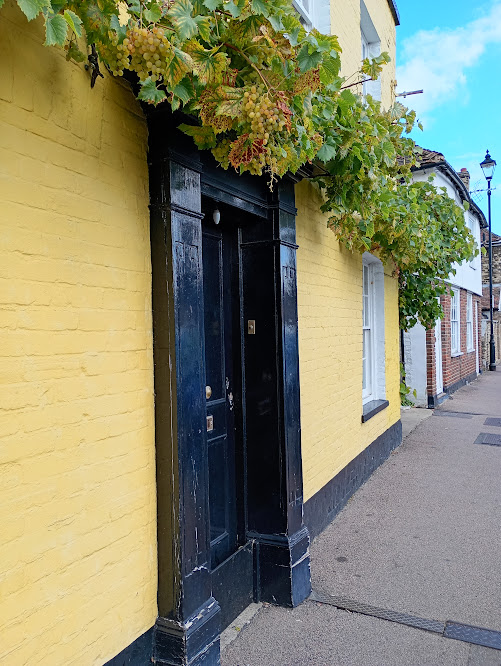
and these amazing grapes!
I was very pleased to tick off this next section, even if it did have to take me two trips, but the advantage of that is that it has now introduced me to a new circular walk to add to the repertoire – but only with somebody else with me so that I can relax and enjoy it a bit more!
See my Kent Coast Walk Part 8: Sandwich to Pegwell Bay here
See my Kent Coast Walk Part 6: Dover to Deal here

Leave a comment